Authors
Mapping the Depths: Visualising Mussel
Advisors & Mentors
No advisors yet
Abstract
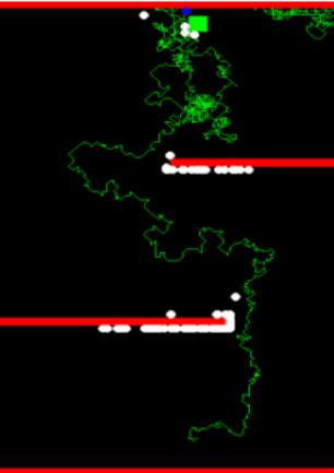
SeaVis is a company that uses underwater drones to photograph the seafloor, collecting valuable data on the location and density of mussels. Unfortunately, they lack an effective way of visualising and communicating this data to their users, limiting the ability of mussel gatherers to optimise their harvest. This project aims to provide SeaVis with a user-friendly mapping client that displays their data on the location and density of mussels on the seafloor, as well as a means to convert their raw data into a form which can be readily displayed in the TimeZero software package.